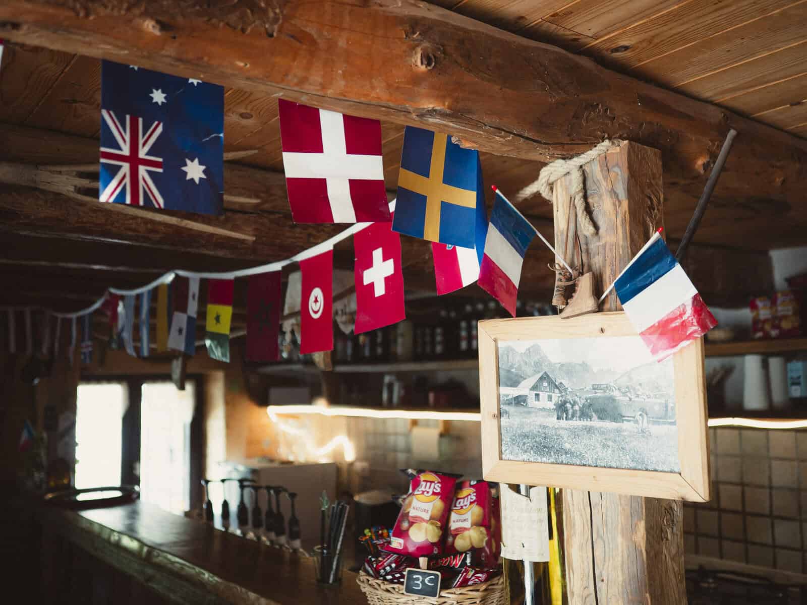
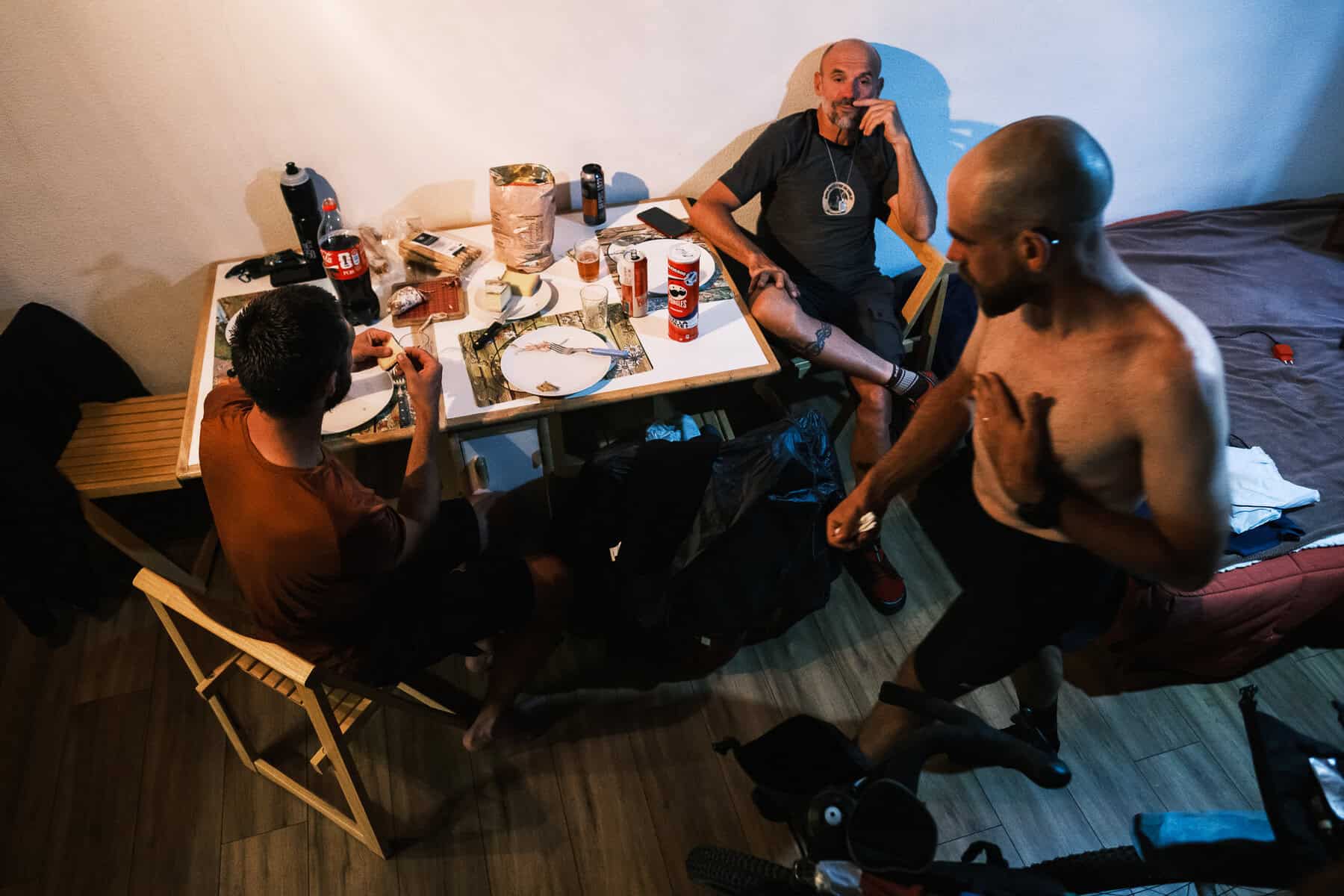
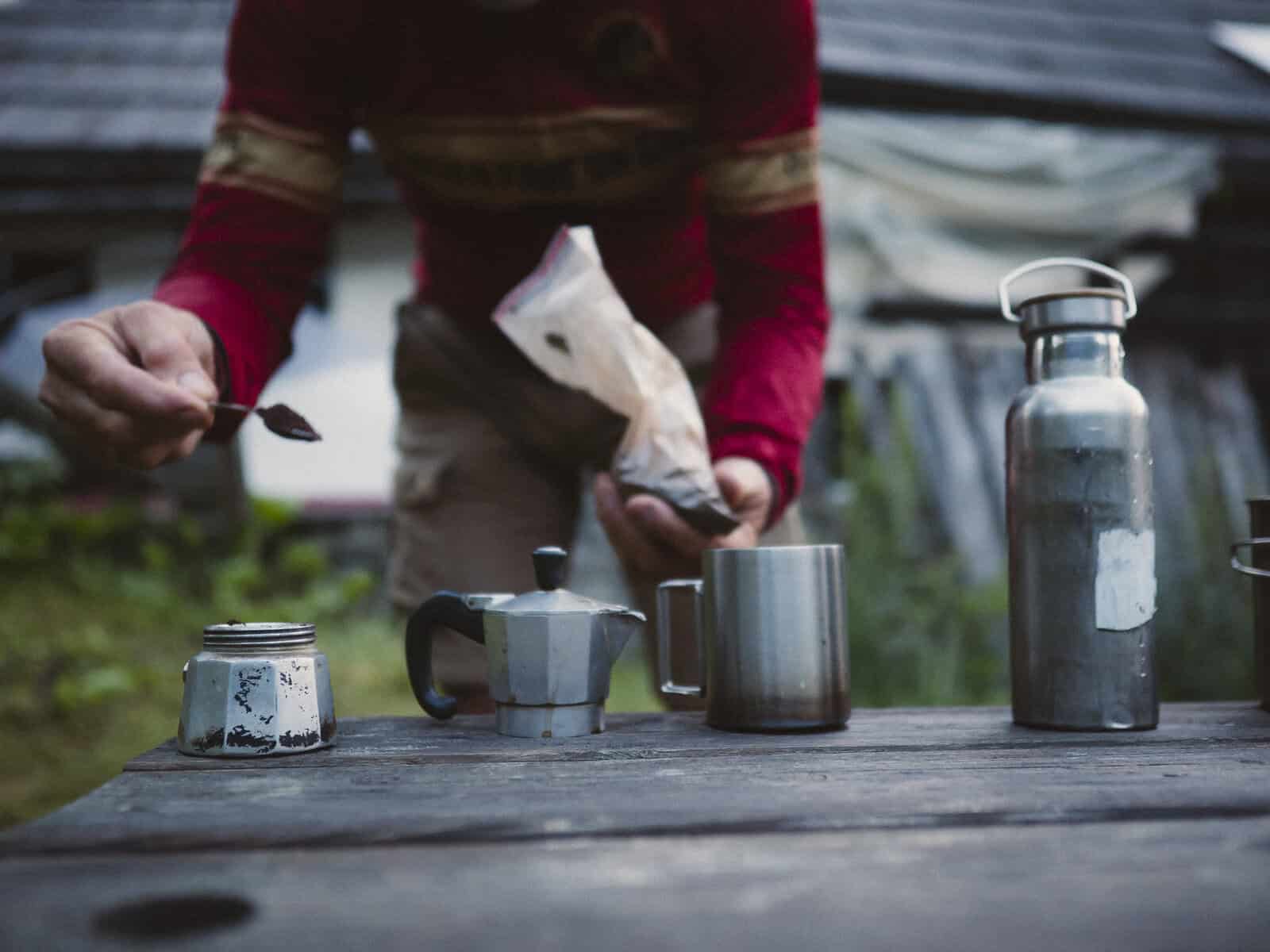
Breakfast, Val Clarée

Alternative Altitude Alps: a bikepacking route

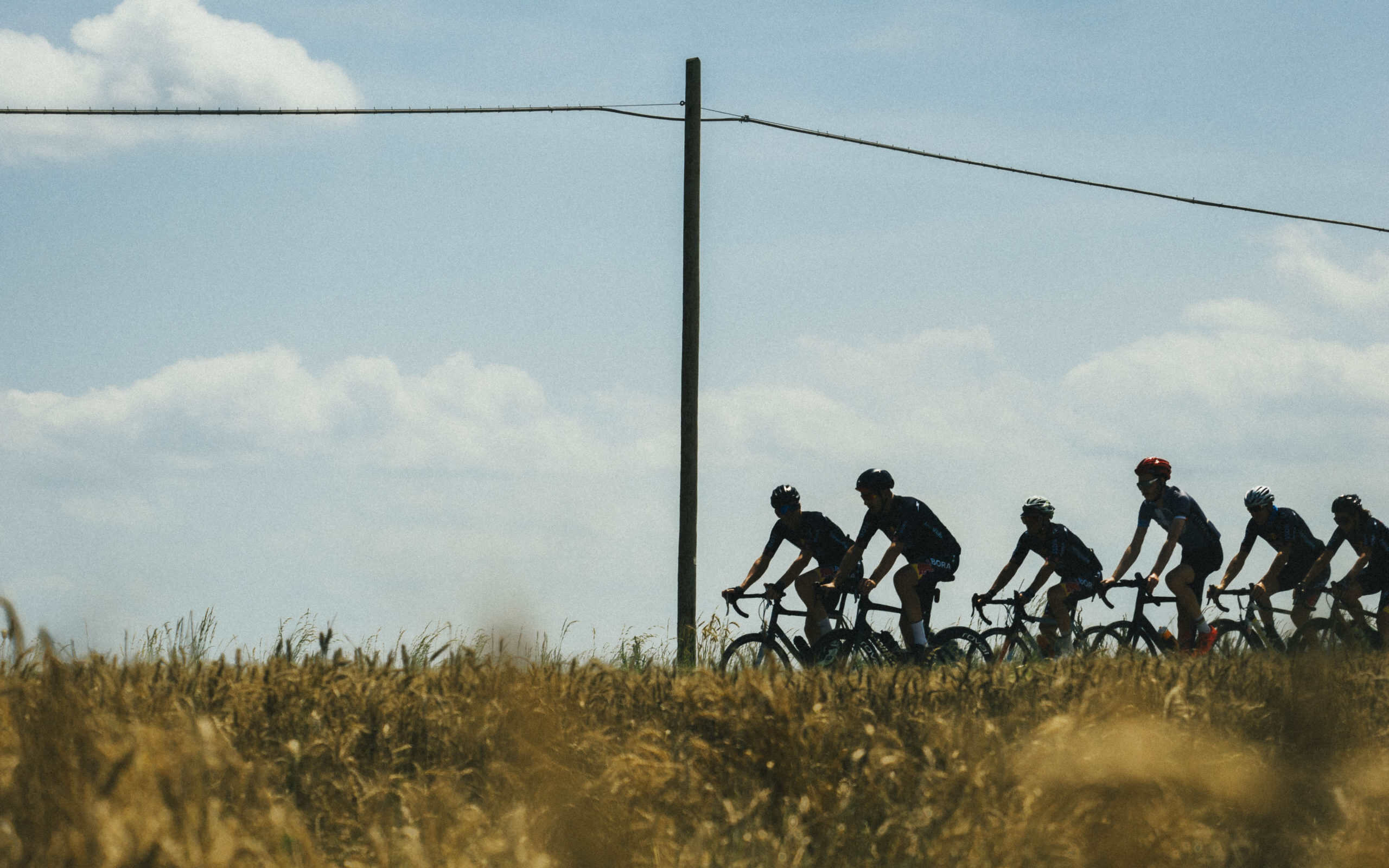
I jumped right at it as soon as Luigi told me his idea. A new bikepacking route on the high roads near home, our usual playground. The challenge? Combining adventure and accessibility; landscapes and culture. A bikepacking route through the Western Alps, linking high mountain passes, old military roads, forgotten corners and the valleys in between.
Two years later, Alternative Altitude Alps is born. We chose the name only after trying the whole route: despite being very familar with these roads, we didn’t know the feelings they would spark once combined in one long stretch. 
 

400 km · 14,000 m elevation gain · Italy & France · 6–11 days

The route starts and finishes in the Susa Valley and loops roughly around Mount Chaberton, crossing the Italian and French Alps along a deliberately varied combination of dirt roads, mountain tracks and paved valley roads.

But the route is not really about collecting passes. It’s more about everything that connects them.

What

We built Alternative Altitude Alps around a simple question: what if the best parts of an Alpine bikepacking route weren’t only the obvious ones?

There are plenty of spectacular military roads and famous climbs in the Alps. Connecting them is relatively easy. The harder — and more interesting — part is deciding what happens between one highlight and the next.

So we spent a lot of time scouting.

The result is a route of around 400 km and 14,000 metres of climbing, connecting major Alpine landmarks with quieter roads, old military tracks, small villages, lakes, forts, cafés and the people who still live in these valleys.

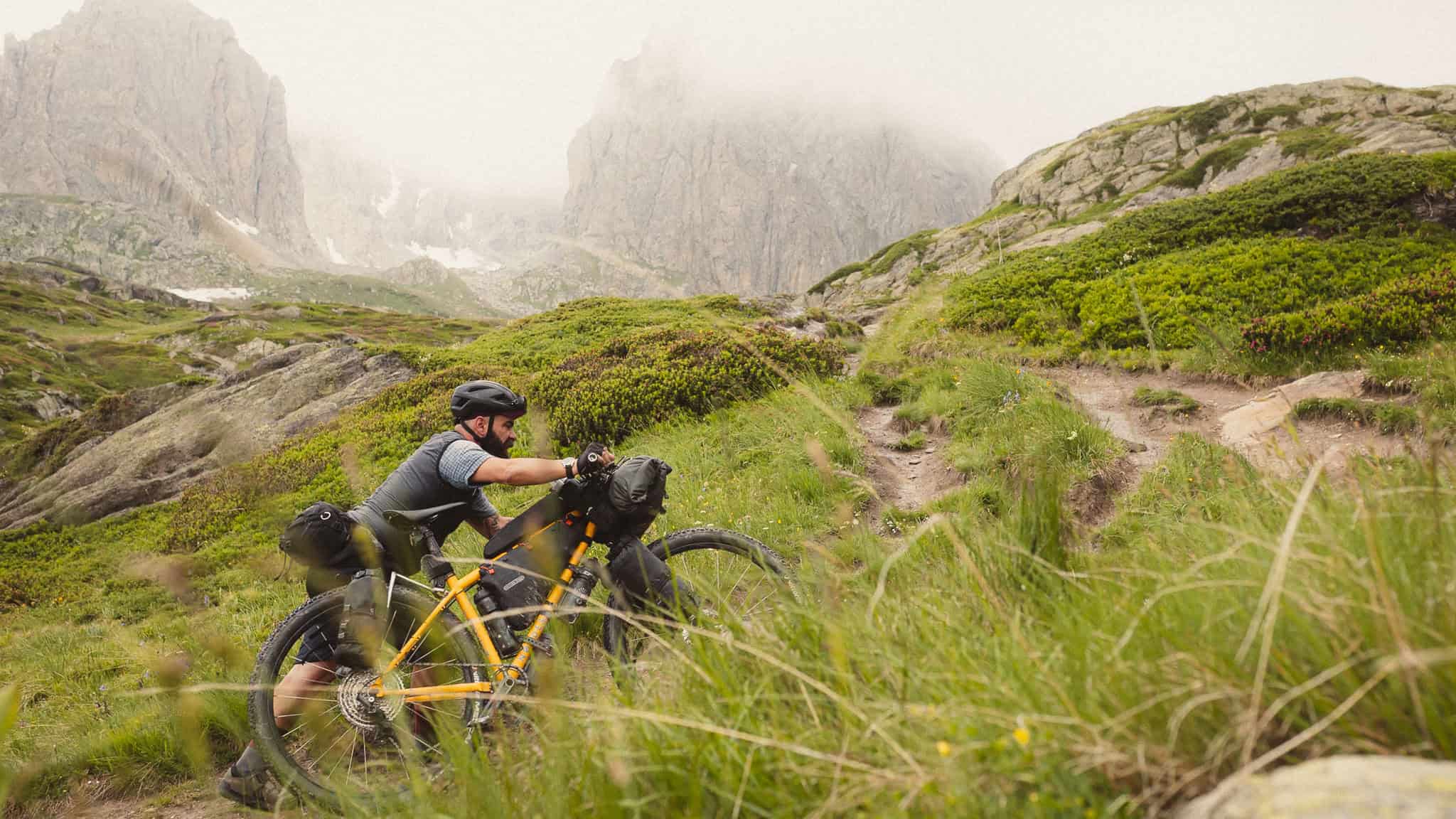
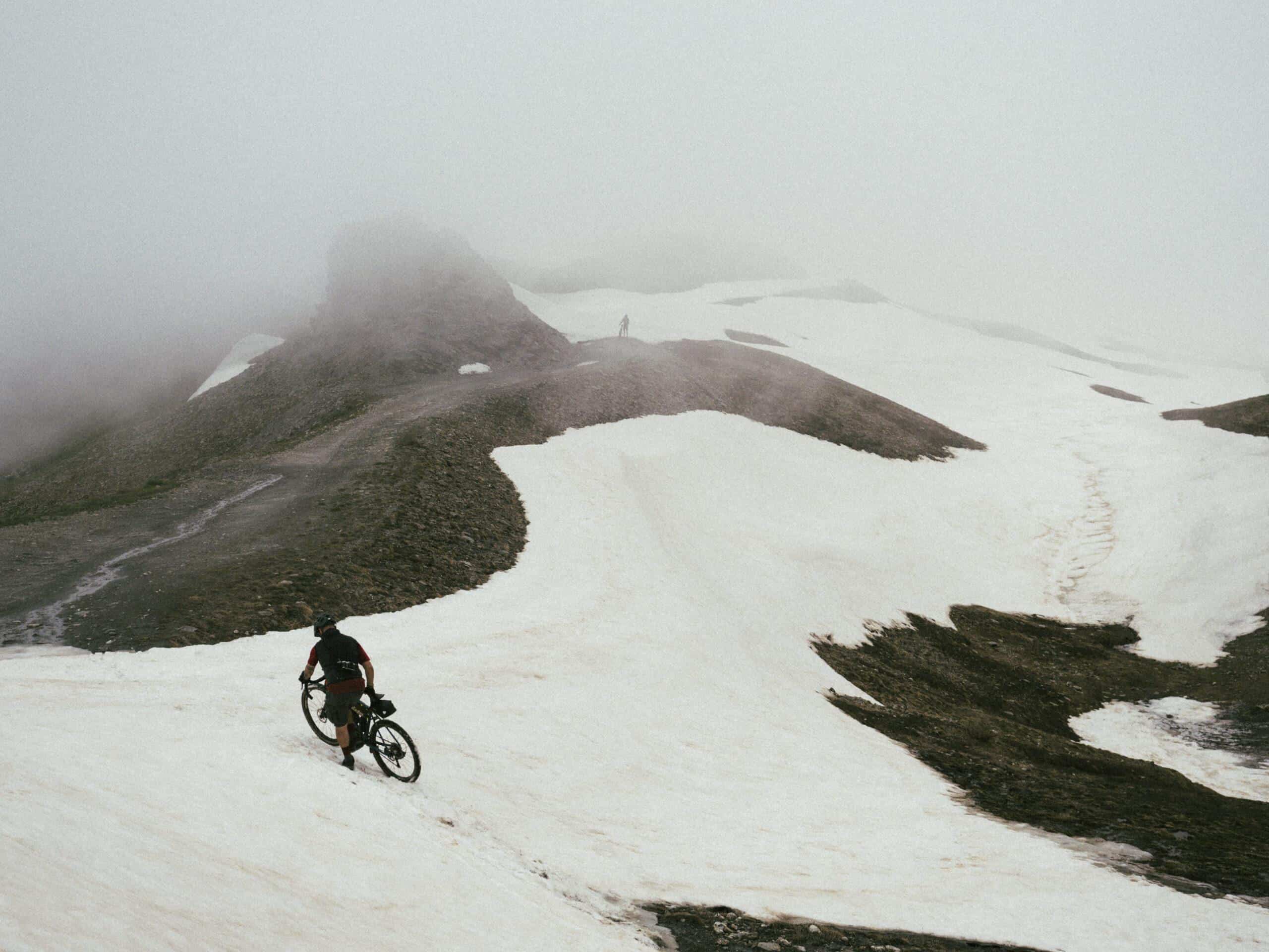
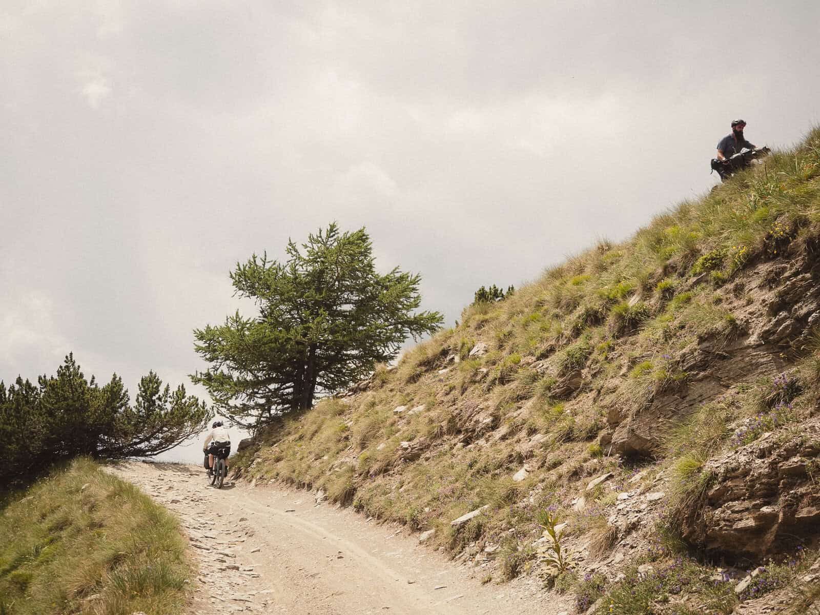
The route is demanding, especially because of the elevation gain, and the terrain is generally challenging. There is only one significant hike-a-bike section, lasting around two hours.

But difficulty was never the point.

When and where

The route is best ridden from late June to October, depending on the year.

At the beginning of the season, the high passes are accessible only once the snow has melted. At the other end, the season lasts until the first significant snowfall.

As always in the Alps, conditions can change quickly, so these dates should be considered a guide rather than a guarantee.

The route starts in Susa, Italy, and crosses the Western Alps between Italy and France.

Along the way it reaches places such as Sommeiller, Rochemolles, Val Clarée, Lac Rond, Lac Grand Ban, Galibier, Briançon, Monti della Luna, Cesana and Salbertrand, while passing countless smaller places that would probably never make it onto a conventional Alpine itinerary.

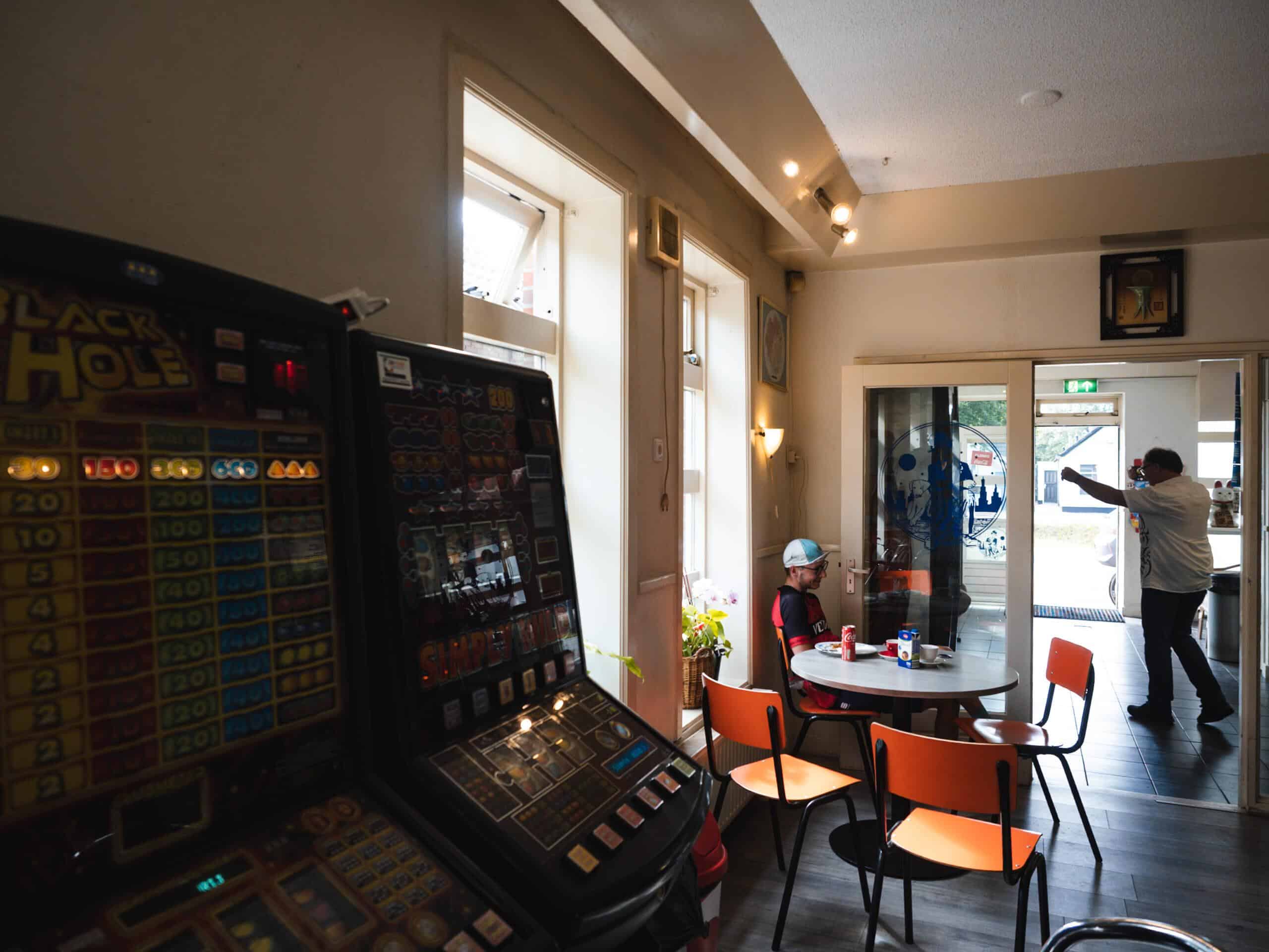
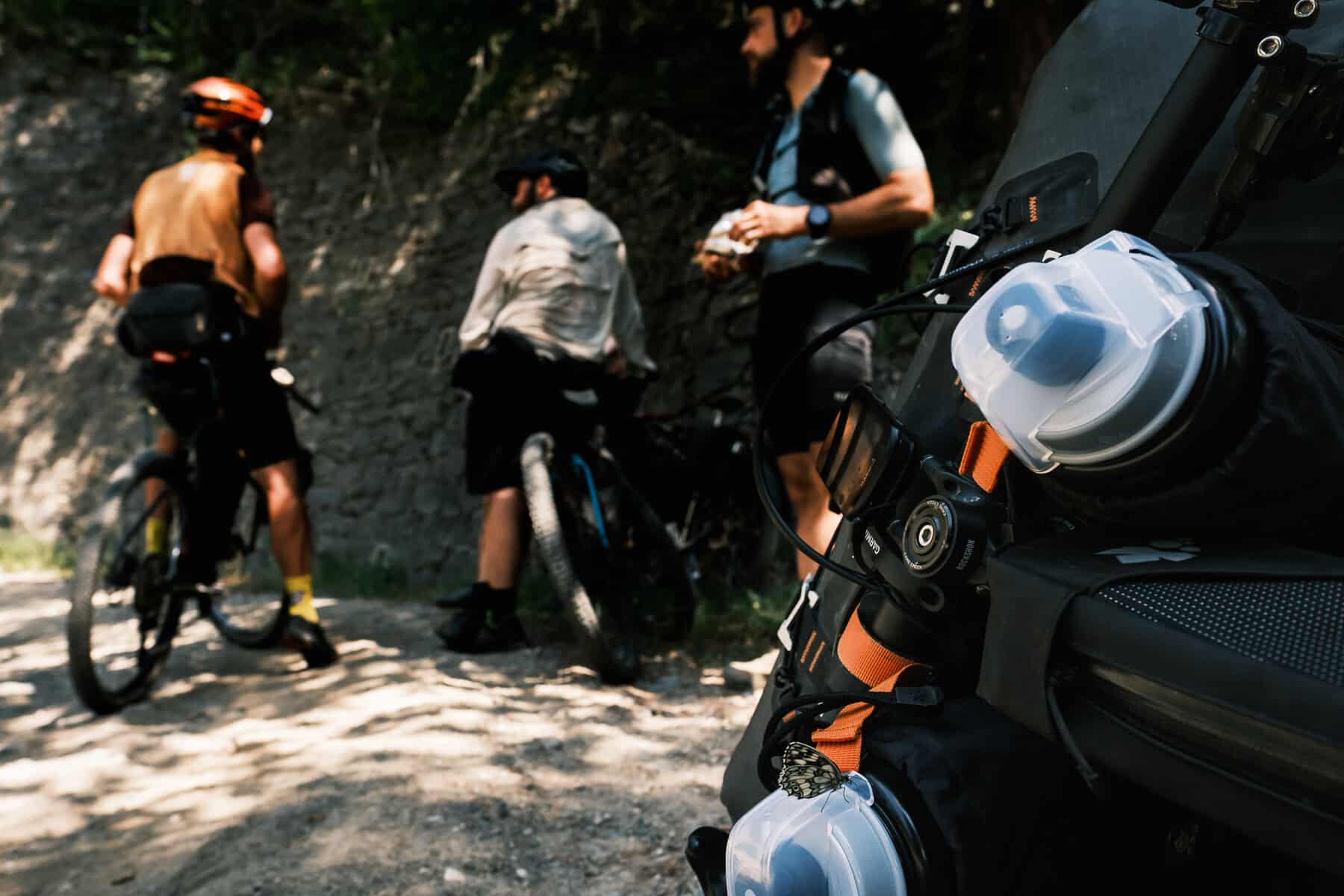
There are military forts and roads dating mainly from the 20th century, high-altitude lakes and valleys, shepherds moving with their animals, hikers from all over Europe, road cyclists on famous passes — and plenty of places where the most important thing on the itinerary is simply stopping for coffee.

How

The route is deliberately flexible and scalable. We recommend allowing at least six days to ride the complete route. Nine days is probably the sweet spot for enjoying it properly, while 10–11 days makes for a much more relaxed journey.

But there is no single correct way to ride it.

The route can be shortened, split differently or adjusted according to your pace, weather and legs. Train stations in the valleys make access and exit relatively straightforward, while most of the major climbs can be tackled independently, one at a time.

And when the weather turns — because at some point it probably will — you can usually drop back down into the valley.

We deliberately worked on this aspect of the route. Mountains already provide enough variables without adding unnecessary logistical problems.

Accommodation and resupply are available throughout most of the route, with only a couple of longer stretches where options are limited.

Some examples

Person and background

Why

Because we didn’t want to create another route that simply connects the greatest hits of the Alps: we wanted the in-between to be as meaningful as the epic climbs.

A mountain pass is only one part of a journey. What comes before it sets the rhythm; what comes after lets you absorb the effort. A dirt road through a forest, a small village, a bar in an old train station, an improvised shelter from a summer storm — none of these are simply filler or transition. They are part of the route.

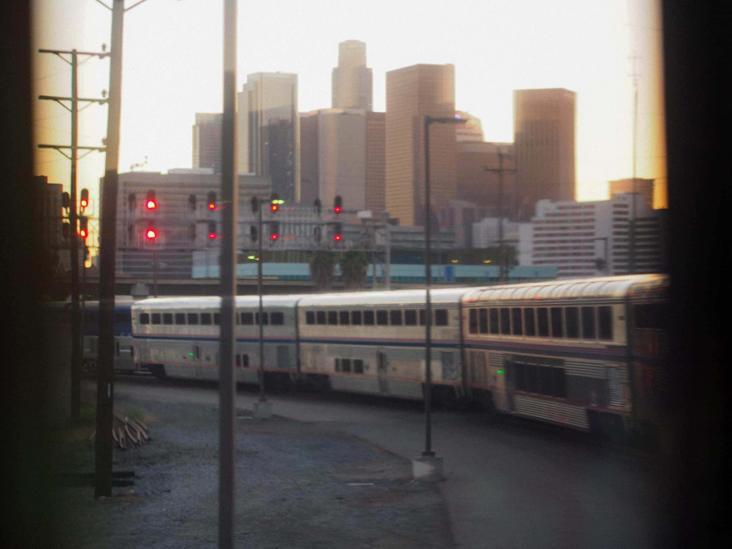
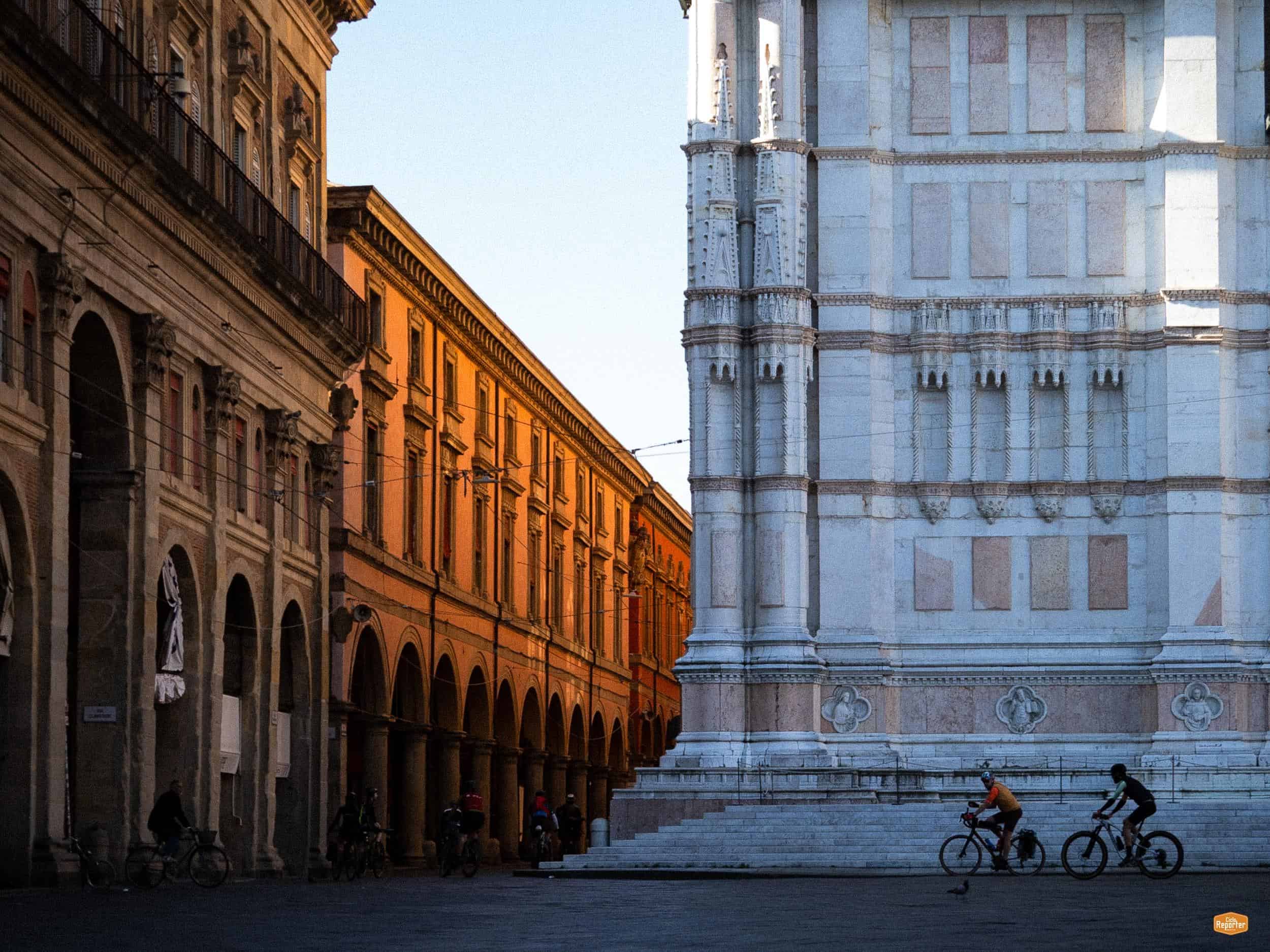
This is also why Alternative Altitude Alps doesn’t try to keep you away from civilisation. Quite the opposite, we wanted riders to experience the valleys as well as the mountains, and to meet the people who live there. You might start the day in the faded Italian railway station in Susa, eat lunch at a table with local families in Rochemolles, share a breakfast with hikers in the Val Clarée, cross paths with shepherds on the other side of Galibier, and finish the day looking across the mountains from an old military road.

And then there is the view, that gave us a real sense of vertigo.

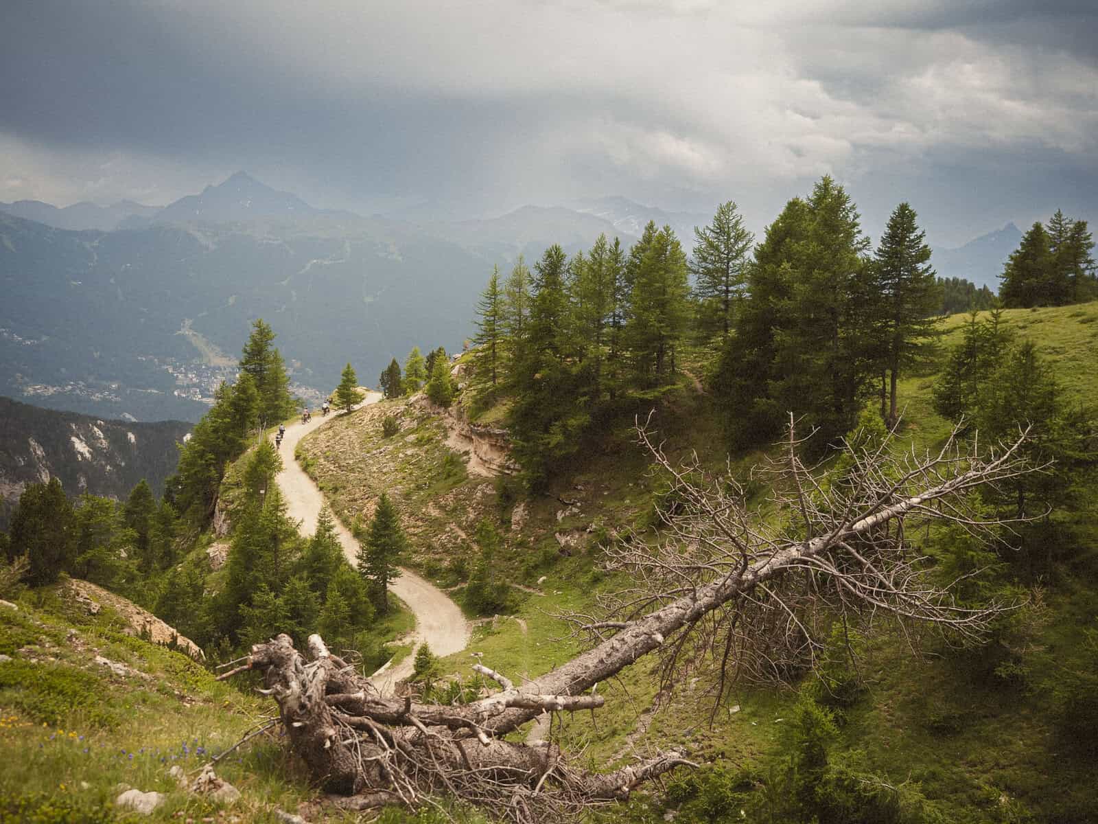
The route loops around Mount Chaberton, and from many of its high points you can see both where you’ve already been and where you’re going next. A climb you crossed yesterday can suddenly appear on the horizon; another one is waiting beyond it.

After a few days, the landscape becomes almost a map of itself.

You look back and see the distance you’ve covered. Then you look ahead, and realise there’s still a lot left. That really impressed us, making us feeling both satisfied and scared, powerful and powerless, as only the mountains and the sea can do.  

That’s Alternative Altitude Alps.

01

02

03

04

05

More thoughts on Stories and tellers

More thoughts on Stories and tellers

Get in touch!

Improve your cycling photography!

Subscribe to Fotogramma, the monthly newsletter about cycling photography: stories, tips, and techniques. 

Or, simply explore the blog!

Scroll to top